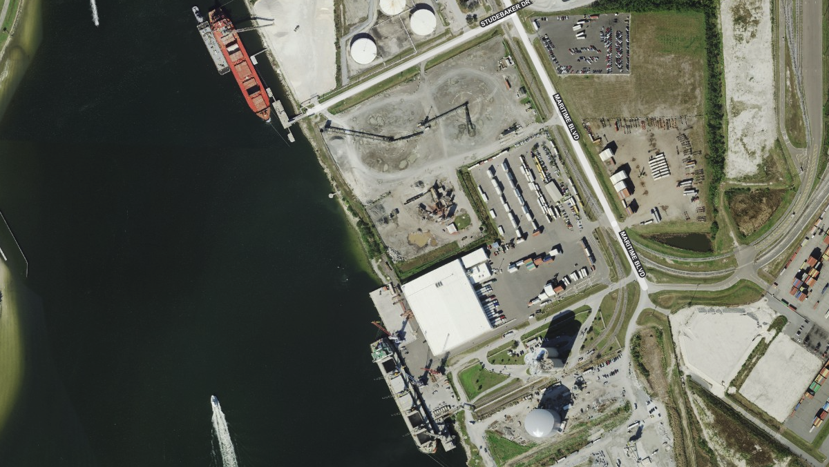
Aerials High Res 2021-2024 Hybrid - County Streets

High-resolution imagery with a hybrid overlay of county-sourced street data. Combines visual clarity with detailed infrastructure context for site planning.
Was this information helpful?
If not, please contact us and we'll gladly help you further.