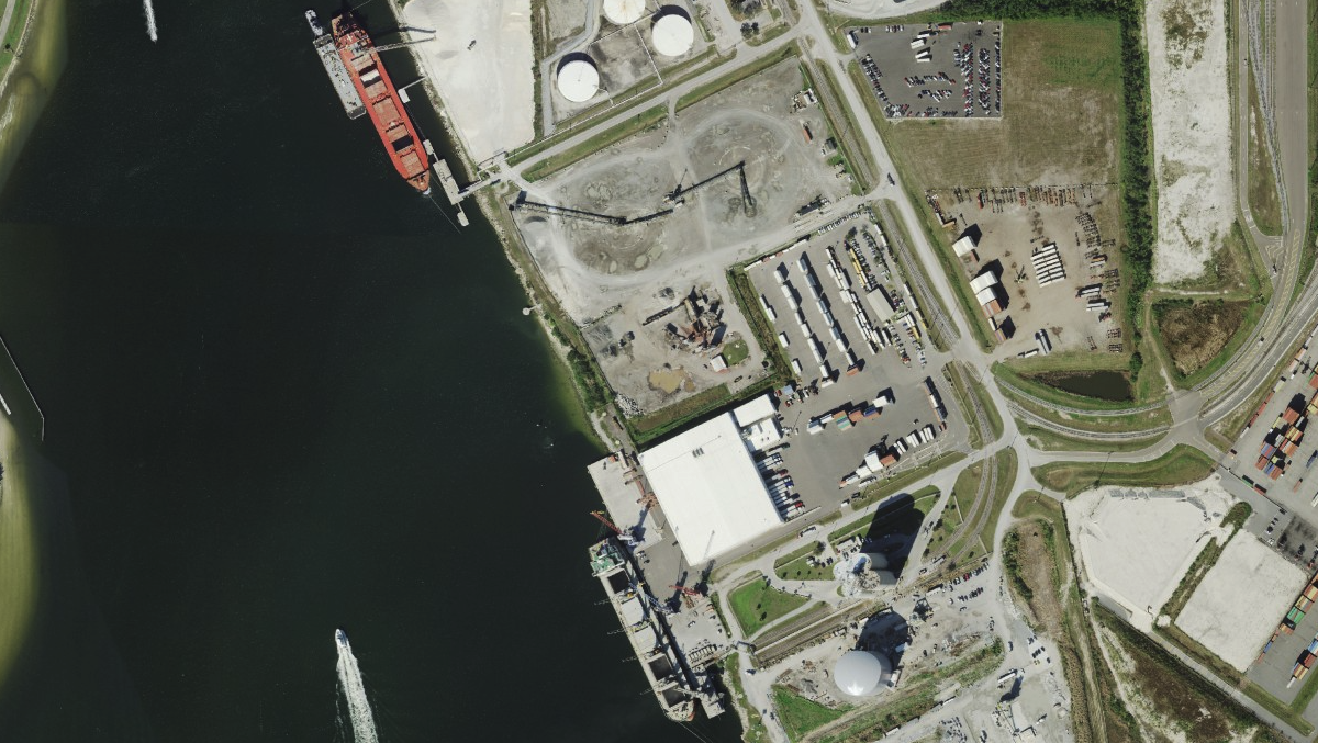
Aerials High Res 2021-2024 True Color

High-resolution true-color aerial imagery from 2021-2024. Offers detailed land cover and vegetation analysis for site planning and environmental assessment.
Was this information helpful?
If not, please contact us and we'll gladly help you further.