Parcels
Parcels Overview
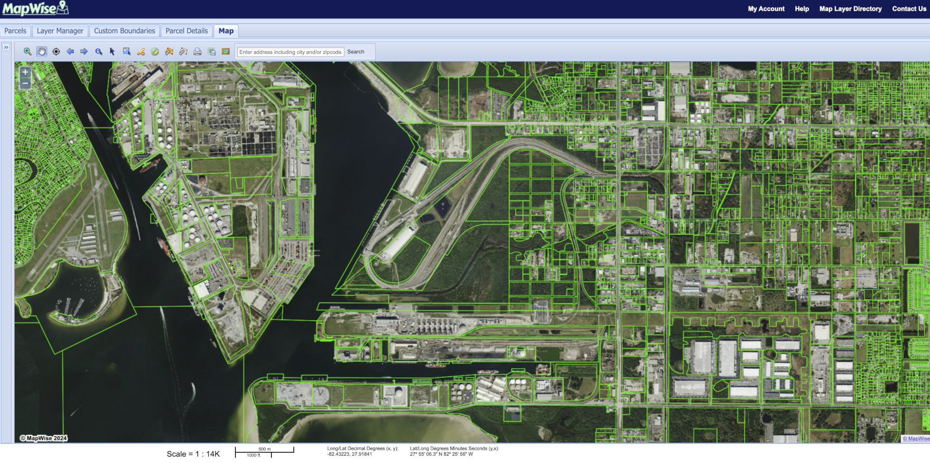
The Parcels layer group in MapWise offers detailed property insights by combining ownership, land use, structure, and identifier data. It helps real estate professionals analyze development patterns, identify grouped parcels, assess building presence, and track recent construction across Florida.
Use 'Parcels' map layers to:
- Cross-reference address points, PINs, and ALT keys for verification and mailing purposes
- Identify grouped parcels under common ownership or sales history
- Find off market properties along major highways.
- Highlight parcels by year built to spot recent construction trends

Florida Parcel Data & Maps
Search parcels statewide to view ownership, sales history, land use, acreage and more—all sourced from every Florida Property Appraiser.
Explore Parcel DataWas this information helpful?
If not, please contact us and we'll gladly help you further.